Reception in honor of Alexandros Maratos, President of the Organization for the Protection of the Environment
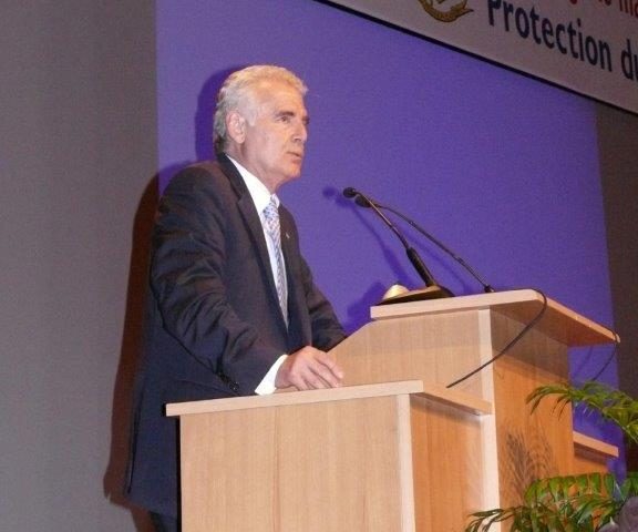
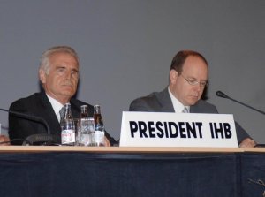 Founded in 1921 at the initiative of Prince Albert I of Monaco, the IHO, or International Hydrographic Organization, has 80 member states and 13 regional hydrographic commissions. Elected President in 2002, Vice Admiral Alexandros Maratos honors us by introducing this international organization and its major role in protecting lives and the environment.
Can you introduce yourself in a few words to our readers?
My name is Vice Admiral Alexandros Maratos. A graduate of the Greek Naval Academy, I have served on various types of combat vessels and hydrographic and oceanographic vessels. I received a Master of Science degree in Hydrography from the Technical University of Athens and a Master of Science degree in Physical Oceanography and Hydrography from the Naval Postgraduate School in Monterey, California. I have written various reports, articles, and textbooks on hydrography and oceanography. In 2002, I was elected President of the International Hydrographic Organization (IHO), headquartered in Monaco.
Can you introduce the International Hydrographic Organization (IHO)?
The IHO is an intergovernmental organization founded in 1921. At the request of Prince Albert I, one of the greatest navigators and oceanographers of his time, the Organization was established in Monaco, where it remains to this day. The IHO has 80 Member States and 13 Regional Hydrographic Commissions, spanning the globe. Its primary mission is to collect hydrographic data for maritime safety, marine environmental protection, and development.
Who are your studies aimed at?
The hydrographic data collected by the IHO and its Member States are used to produce nautical charts, sailing directions, tide tables, etc. They are available in both paper and digital formats. Most of them are used by mariners to ensure safe navigation, but they are also used by governments, maritime administrations, universities, recreational vessels, etc. They have been recognized as being of vital importance for tsunami warning systems.
Who collects the information?
The data are collected by the national hydrographic services of IHO member states. They use survey vessels equipped with the latest generation of hydrographic survey equipment (multibeam echosounders, GPS systems, tide gauges, current meters, etc.) and teams of highly experienced hydrographers.
What are the practical applications of the IHO’s work?
The data collected by the IHO are used in all maritime studies, particularly those relating to the mapping of the ocean floor, the study of surface and depth circulations of oceanic and coastal currents, the measurement of vertical movements of oceans and seas, and studies relating to the implementation of the United Nations Convention on the Law of the Sea.
What is your contribution to our current knowledge of the oceans?
We cooperate very closely with other organizations such as the World Meteorological Organization (WMO), the International Maritime Organization (IMO), the Intergovernmental Oceanographic Commission of UNESCO, and we provide data, support and services for environmental studies as well as for the dissemination of meteorological and environmental warnings.
Does your organization provide information for ecological and/or meteorological studies?
The IHO’s most important task is to produce worldwide coverage of electronic navigational charts (ENCs), based on new technologies in the field and in order to increase safety at sea. We are striving to be able to complete this task before 2010. Mariners will feel safer and, on the other hand, the maritime industry and academic and research institutions will thus have at their disposal an effective, accurate and valuable tool: electronic navigational charts.
What is your current rant?
Generally, I don’t like to “wait for things to happen.” Producing up-to-date, accurate hydrographic data saves lives and better protects the environment. That’s why we need to act quickly and make the best use of available technology.